The idea of hiking to and exploring the five beautiful turquoise waterfalls in the red rock canyon of Havasupai tribal lands has been a goal for me for quite a while and I finally got around to doing it.
Just west of Grand Canyon National Park, is the town of Supai on the Havasupai Indian Reservation in Arizona. Surrounded by the cliffs of the Grand Canyon, this tiny town is only accessible by foot, horseback, or helicopter. It is one of the most inaccessible towns in the Continental United States. It is the only town in America where the mail is still transported by horse/mule.
Approximately 3 miles above Supai, there is a large spring from ancient aquifers that create Havasu Creek. The water, which has been stored in limestone caverns for thousands of years, has high levels of dissolved magnesium and calcium. The calcium reacts with CO2 to make calcium carbonate particles. Together, the dissolved magnesium and calcium and the suspended calcium carbonate reflect sunlight to create the turquoise color. The riverbed is made up of reflective limestone, which makes the color appear even brighter. These minerals form deposits from the water and create amazing travertine rock formations. The indigenous people of this region call themselves the Havasupai—in the local language, “ha” means water, “vasu” means blue-green, and “pai” means people.
Securing a permit for visiting Havasupai Falls is highly competitive, and the majority of dates sell out on the very first day they become available. Even though the reservation website crashed within minutes of opening for reservations, I managed to secure a permit for 4 people for the dates we wanted.
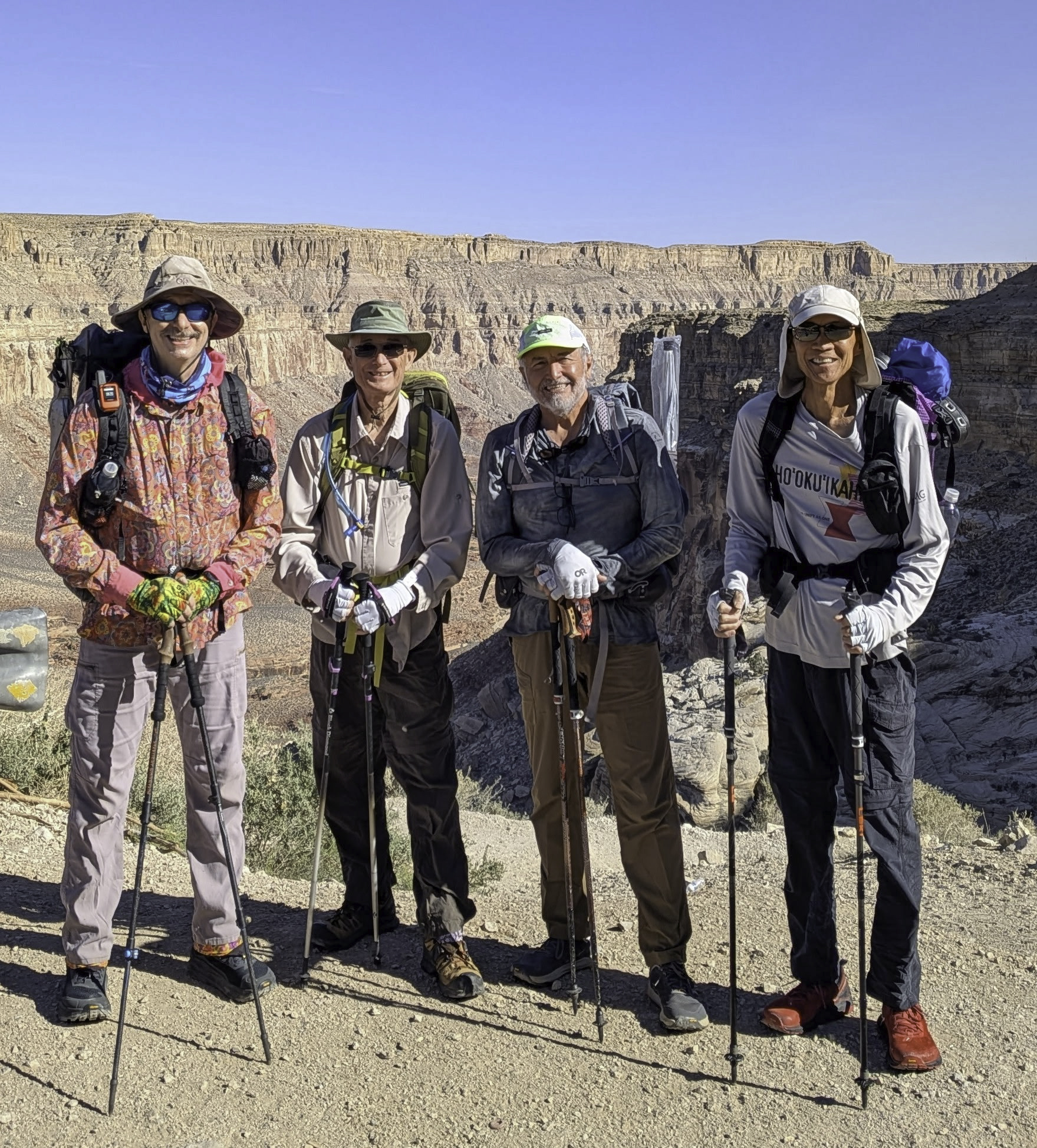
Here we are at Hualapai Hilltop ready to hike down the Havasupai trail behind us: Jim, Randy, Oscar, and Alan.
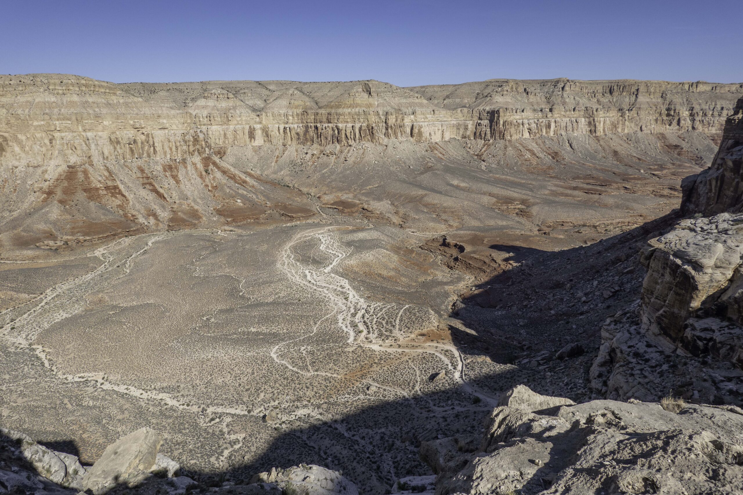
The hike from the Hualapai Hilltop down to Supai is about 8.5 miles with a drop of about 2500 ft in elevation. We were starting at about 1 mile elevation. You can see the white trails in the middle of the photo that then curve out of sight down the canyon.

The first mile of the trail drops steeply down into the canyon. We were happy to be in the shade of the canyon for the first part of the trail.

The trail is used both by the hikers and the horses that move gear, food, supplies, and mail up and down the canyon. The rule is to get out of the way of the horses! We carried all of our own gear and food down into the canyon. Photo by Oscar.

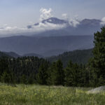
As we dropped in elevation, we were provided with a better view down the canyon that we needed to travel to Supai.

After the first mile, the trail leveled off and we hiked down a gentle slope in the canyon. There was less shade and the sun was hot. Jim had his umbrella system that provided him portable shade. The temperature was well above 100F before we arrived in Supai – unfortunately, the area had a heat wave while we were there being about 10+ degrees above normal.

Found this Desert Prickly Pear blooming in the canyon.
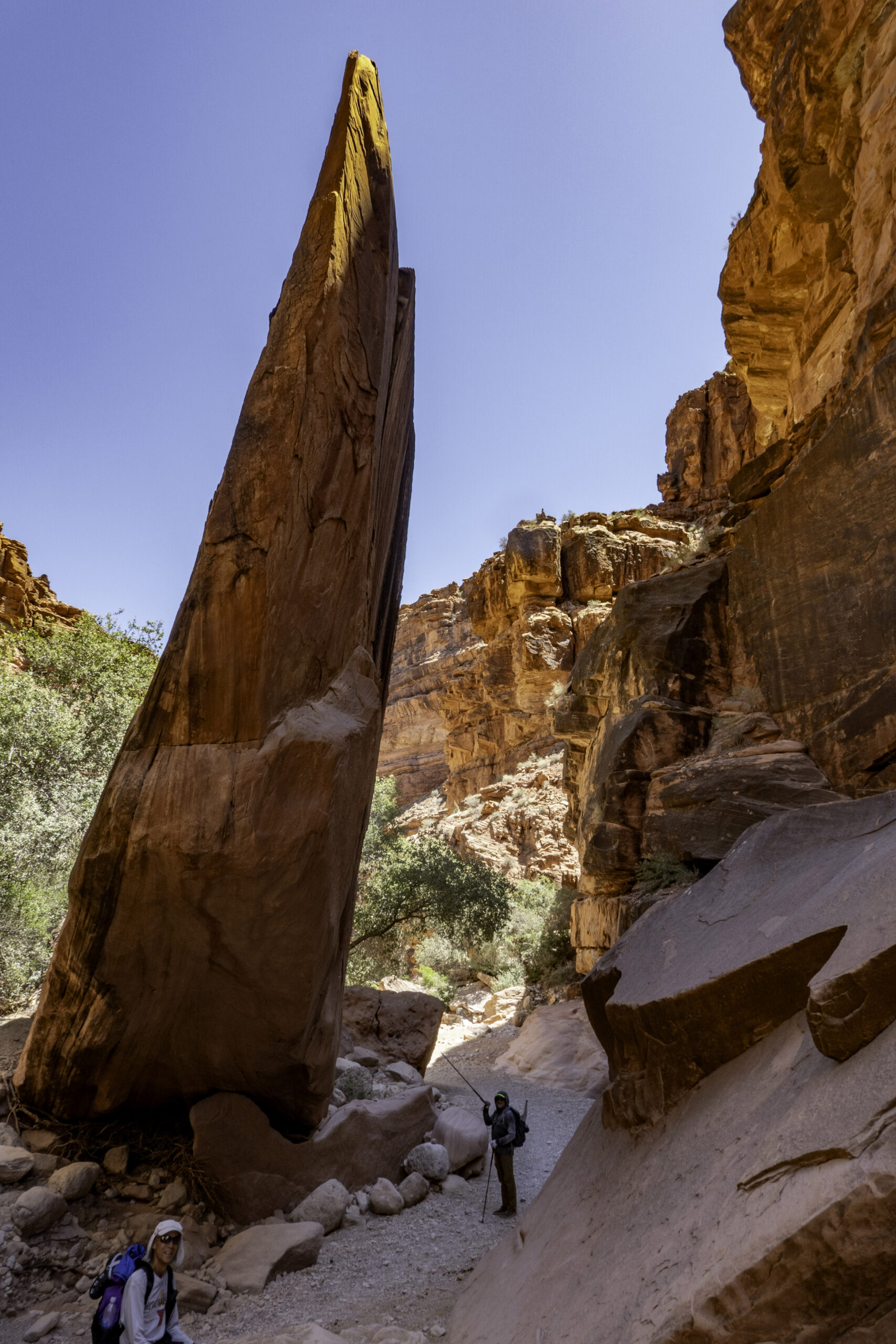
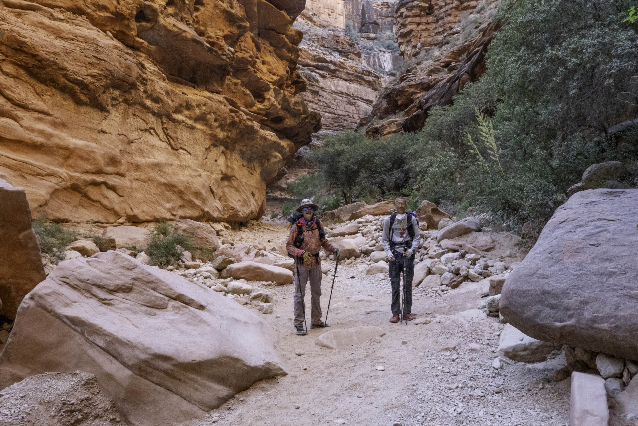
Here Oscar and Alan are passing by an interesting rock formation in the canyon.
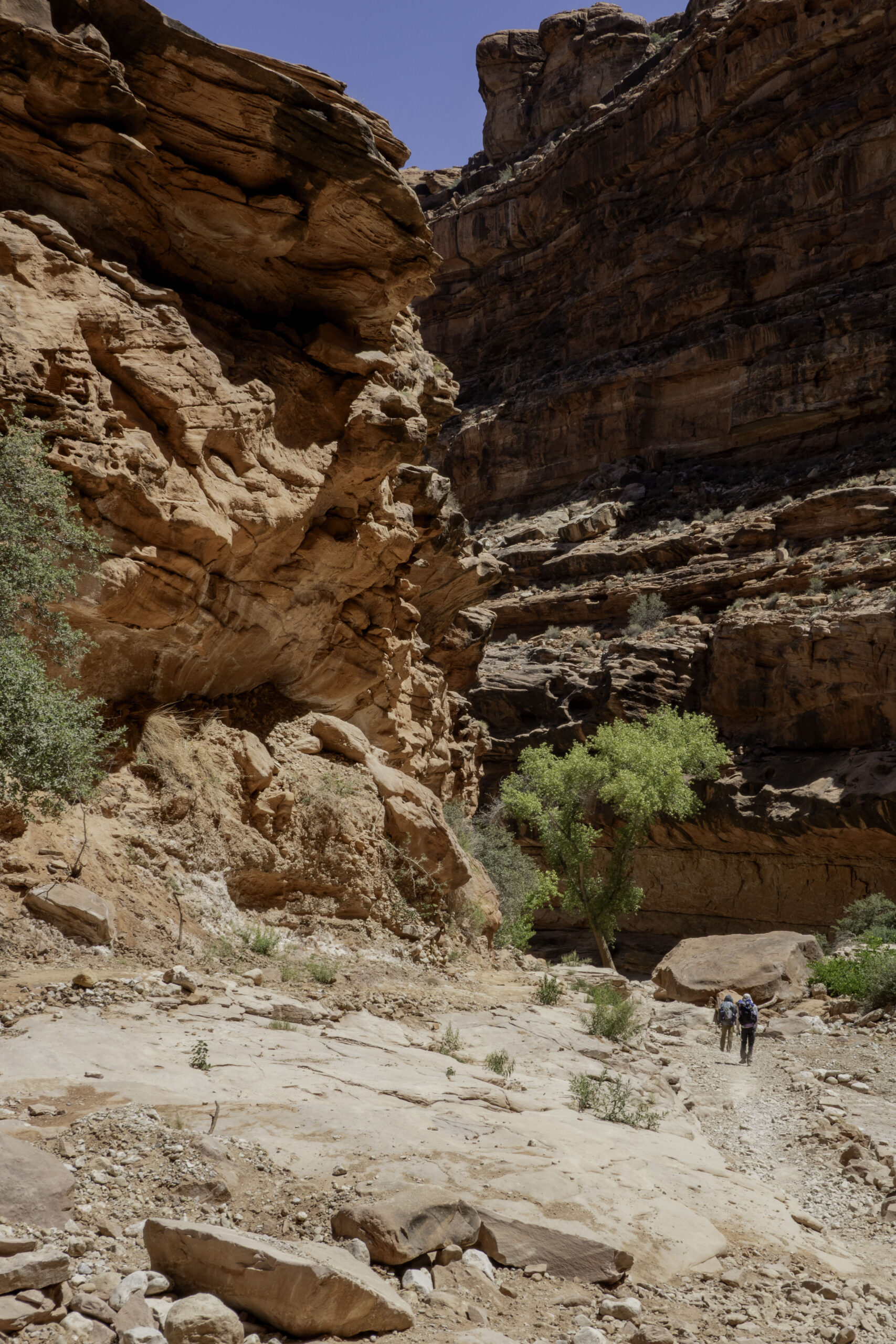
And yes, the canyon seemed to go on and on….

We finally arrived at the edge of the small village of Supai. The tribe does not allow photography within the town or of any of the residents.

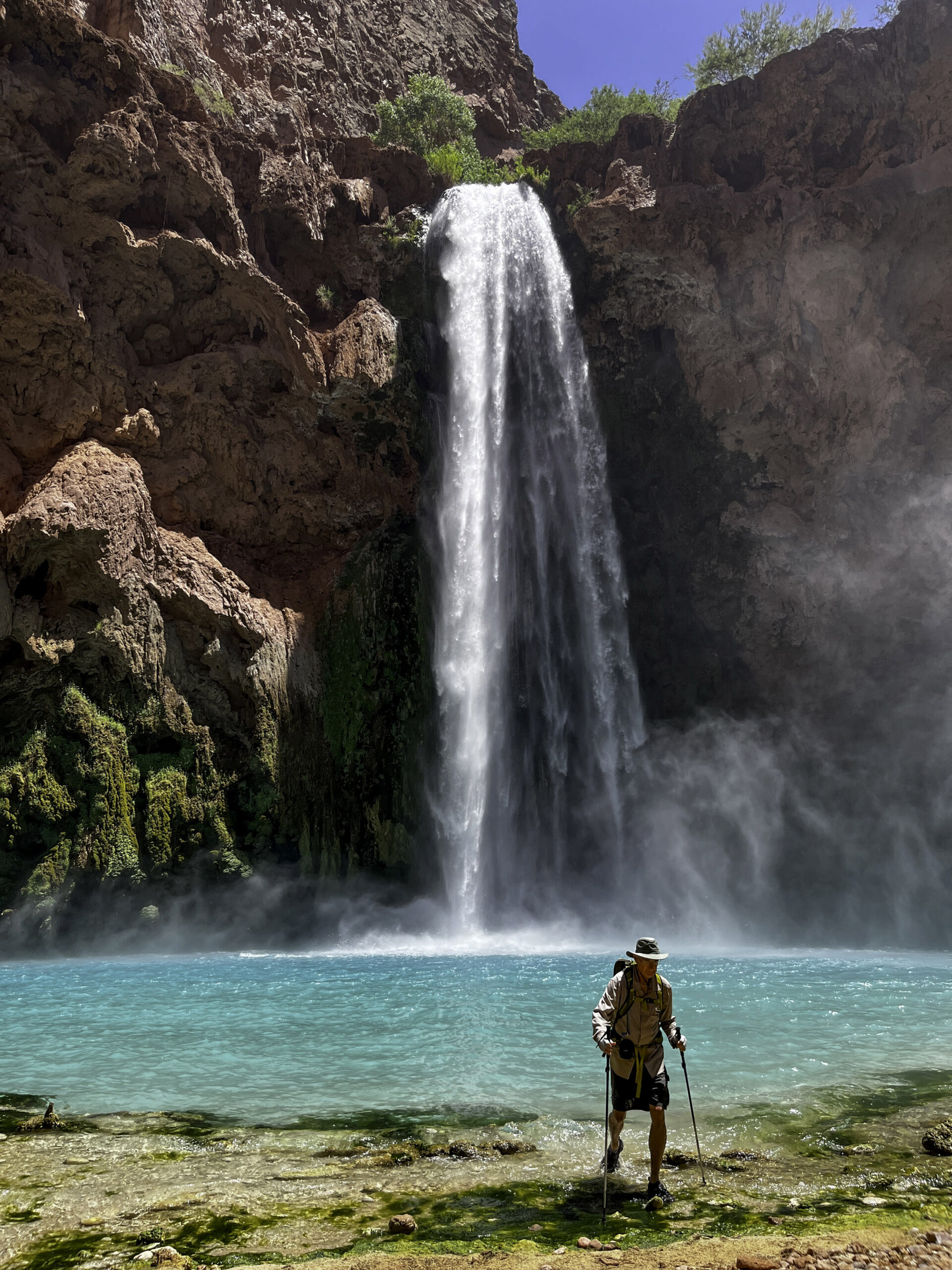
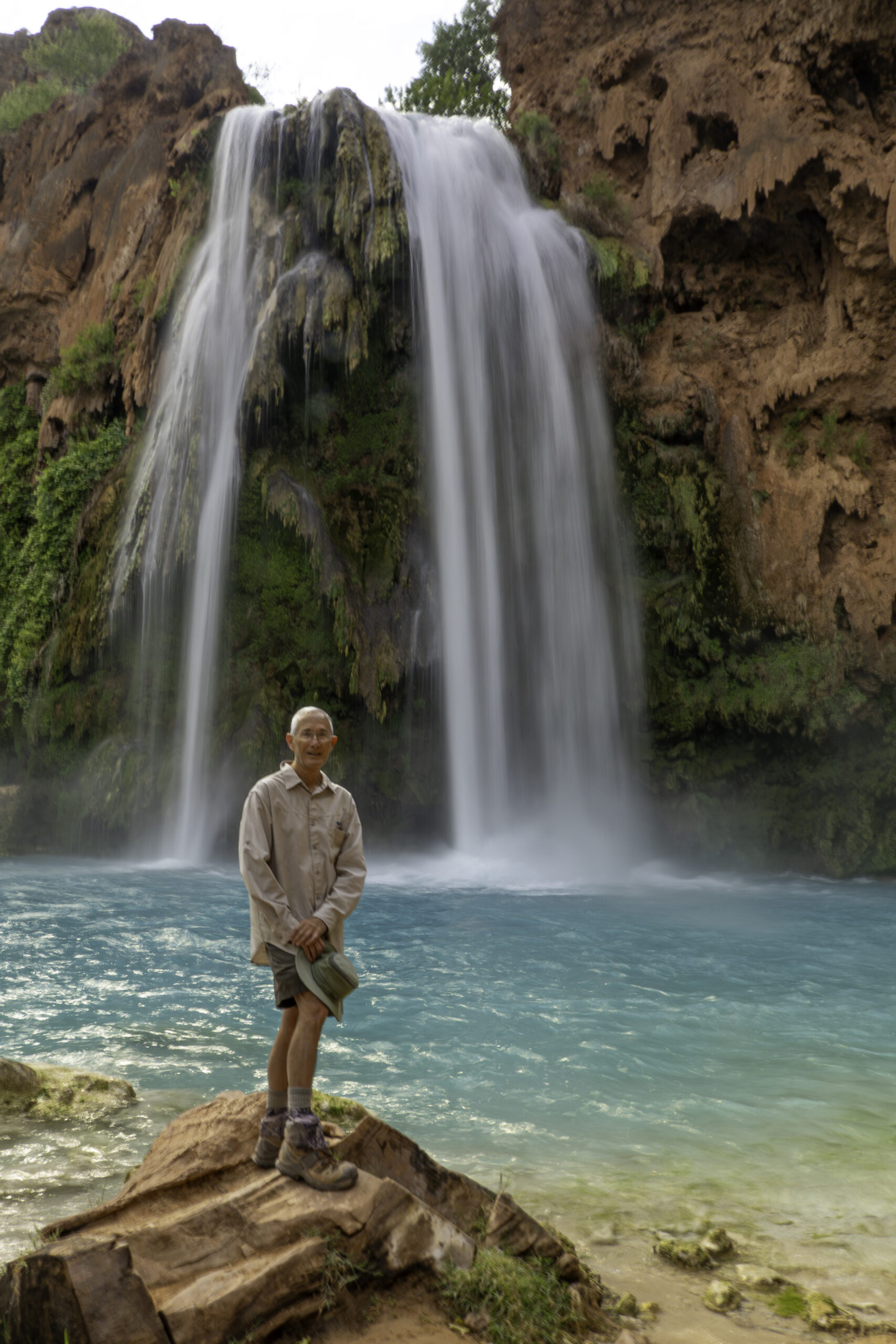
This is Havasu Falls early in the morning of our second day. The water of Havasu Falls drops about 100ft. Oscar, Alan, and Jim left a few minutes earlier than me to hike to the confluence of Havasu Creek and the Colorado River, about 20-mile round trip hike. My goal was to visit 3 of the 5 waterfalls with an approximately 10-mile round trip hike. I did not spend much time at Havasu Falls on this hike but planned to come back the next day. Lots more photos of this waterfall later.

This is Mooney Falls, the largest of the 5 waterfalls at about 200 ft tall. This is taller than Niagara Falls. I did not spend much time here on the way in to allow me to reach the farthest waterfall, Beaver Falls, but came back to Mooney Falls later in the day. It is a challege to get to the base of these falls that I will discuss later.

The trail between Mooney Falls and Beaver Falls required crossing Havasu Creek 3 times in near waist deep water. The dips in the water felt great on the hot day.

Finally reached the last waterfall, Beaver Falls, with the travertine rock “dams” making terraced pools. When I got there, I found Jim, who had decided to not go all the way to the confluence. Jim took this photo of me exploring Beaver Falls.
As Jim and I left Beaver Falls to return to Supai, I took this photo of the lone person in one of the pools in the middle of the photo.
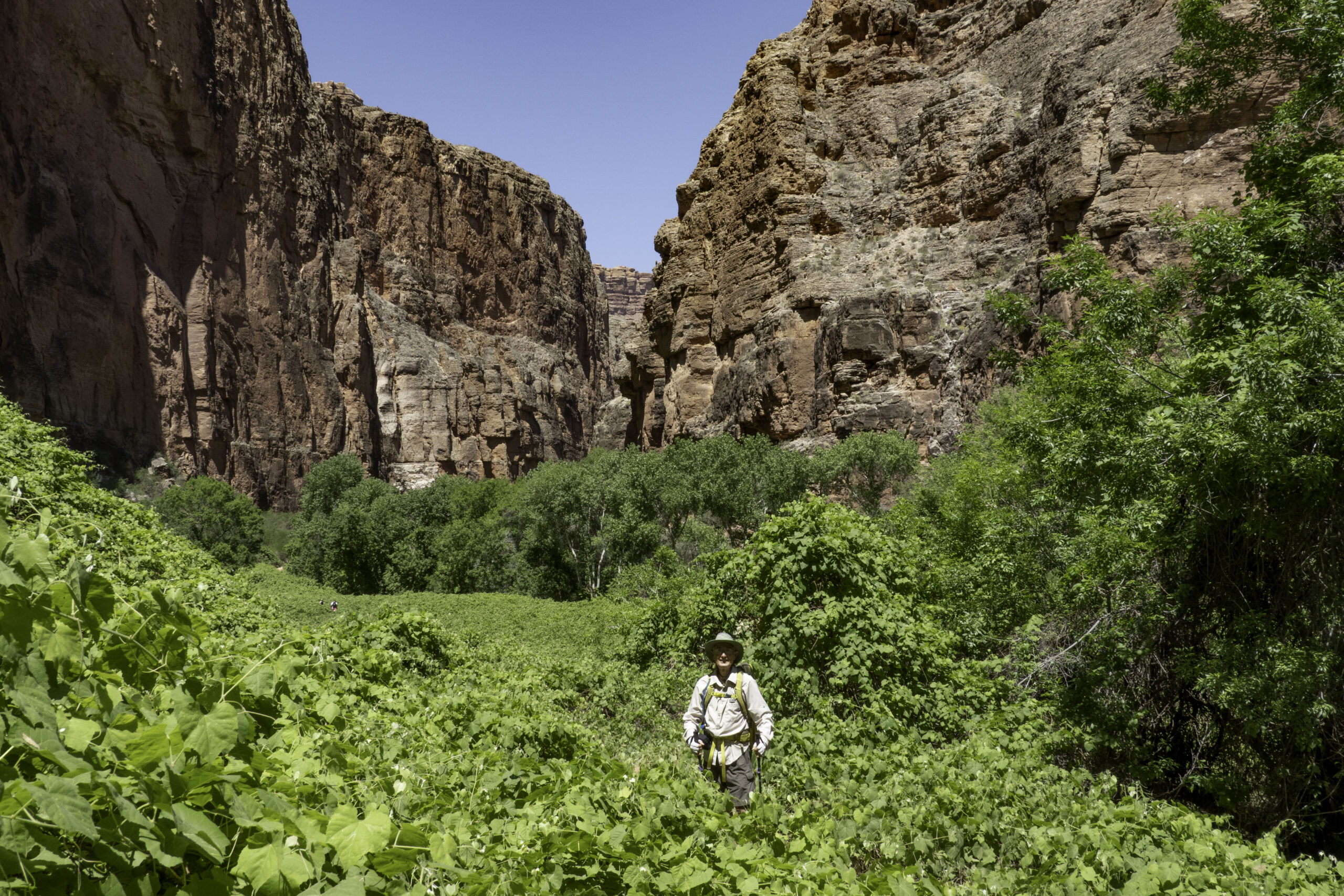
We returned back on the same trail but spent more time along the way. The water from the creek supports lush vegetation in stark contrast to the desert rock canyon. The tall vines were a combination of grape vines and other vines. Jim took this photo using my camera.

Desert Big Horn sheep can be found in the canyon.
Jim took this photo of me after taking a cooling dip in the turquoise pool under the massive Mooney Falls. Getting your clothes wet was helpful to stay cool. Not only is the 70 F water cooling, the evaporation of the water from your clothes in the dry air continues to cool you as you hike.

Reaching the bottom of Mooney Falls requires a semi-technical downclimb using bolts, ladders and chains. Later you climb back up the same way. In the photo, Jim is on the 3rd set of ladders climbing back up. Then you need to climb a near vertical section using foot holds carved in the stone with chains to pull yourself up the climb (or let yourself down). The mist from the waterfall makes the ladders and area with chains wet and a bit slippery. In the photo, above Jim and a bit to the right, you can see the legs of another person climbing the chain section. Then there are two tunnels in the rock to climb up before reaching the top to continue the trail back to Supai. It is an area to be mindful, but it is doable. For me it was more of a mental challenge going down vs. climbing back up. To reach Beaver Falls or the confluence you must climb down this and back up to return.

Jim took a photo of me climbing the near vertical wall with the chains.

A photo by Jim of me climbing out of one of the tunnel sections above the chains that go down to the base of Mooney Falls.
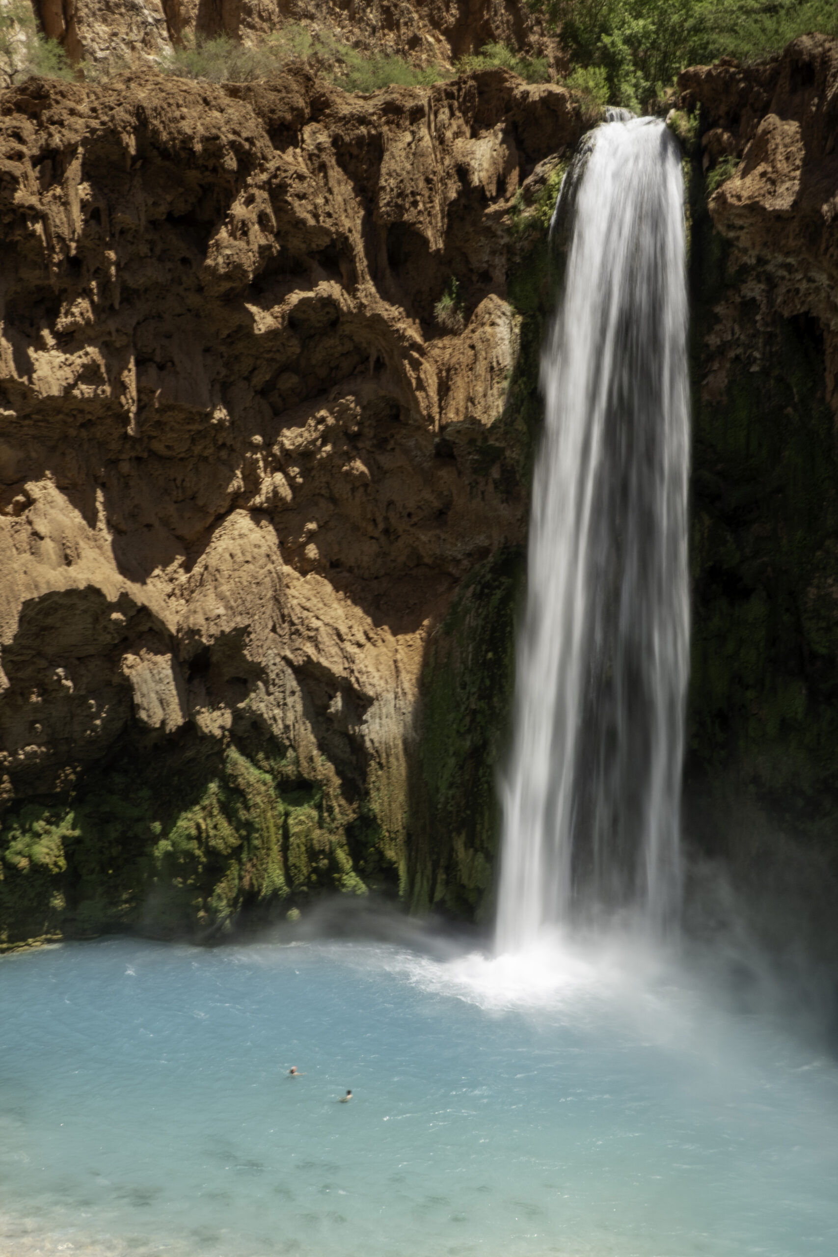
There is one area on the climb up (or down) at Mooney Falls that has a great view of the falls. Note the two people swimming in the center of the pool to give you perspective of the size of the falls.

When visiting Havasupai Falls most people camp in the campground between Havasu and Mooney Falls. The only permit I was able to get was for the small lodge in Supai. Here we are “roughing it” after a long day hiking. Photo by Jim.
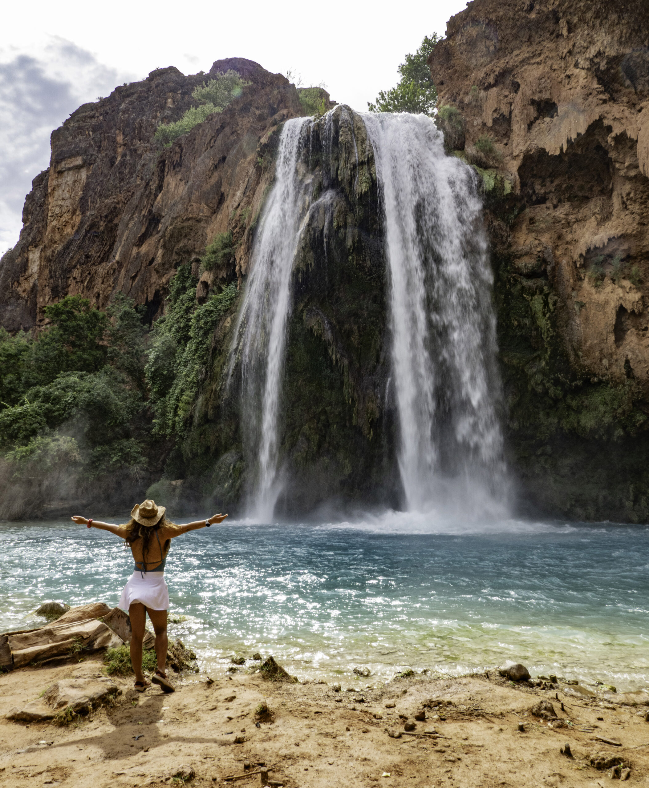
On the third day we all visited the 3 waterfalls closer to Supai beginning with the 100 ft Havasu Falls. I traded photo taking with a South American couple for the next 2 photos.
Havasu Falls.
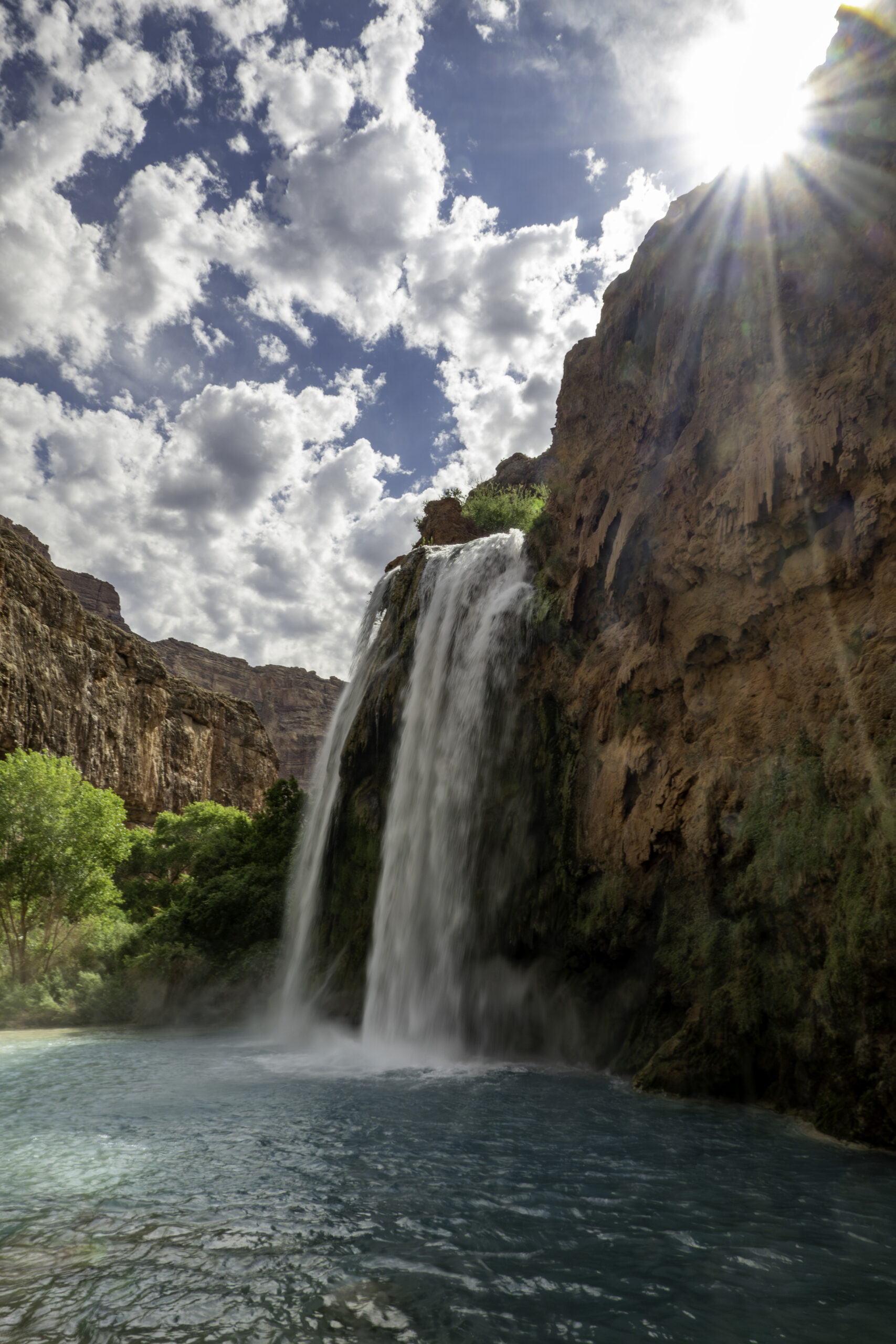
Havasu Falls
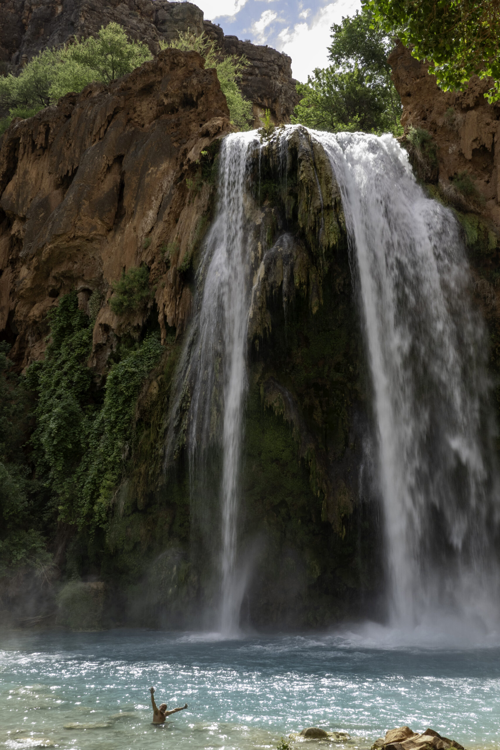
Oscar taking a swim at Havasu Falls.
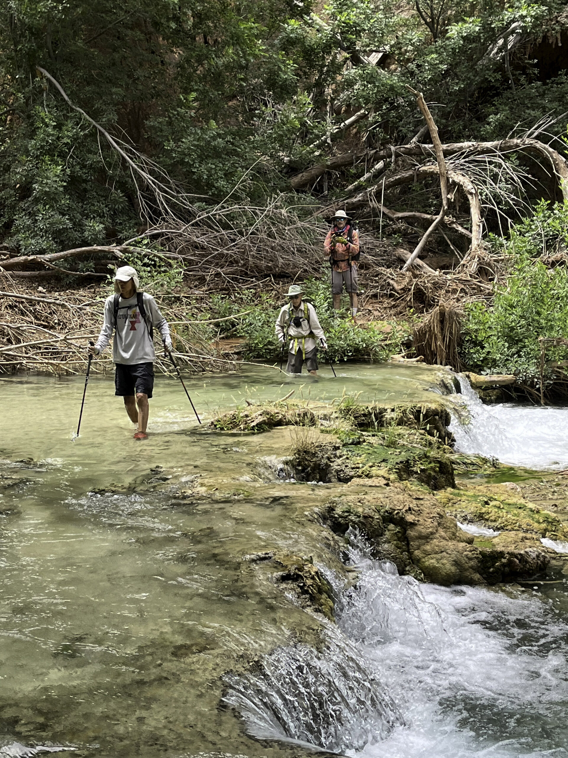
The two smaller waterfalls closer to Supai had some fairly rugged trails to get to them requiring hiking in the stream. Oscar took this photo.
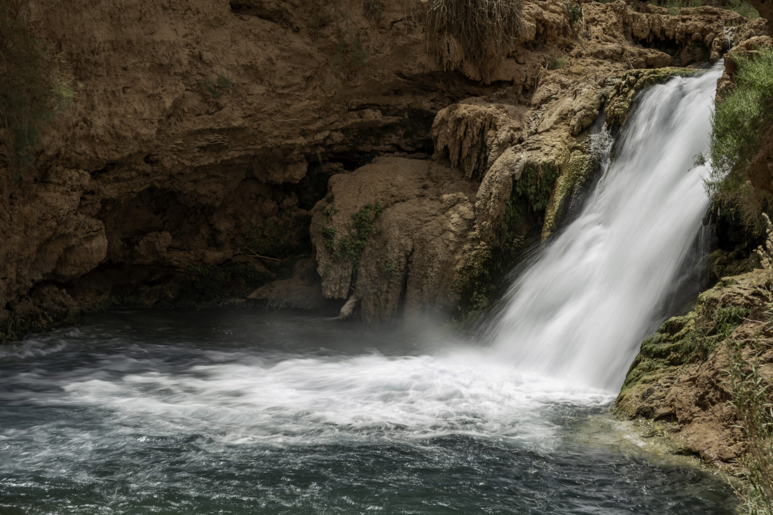
Hidden Falls
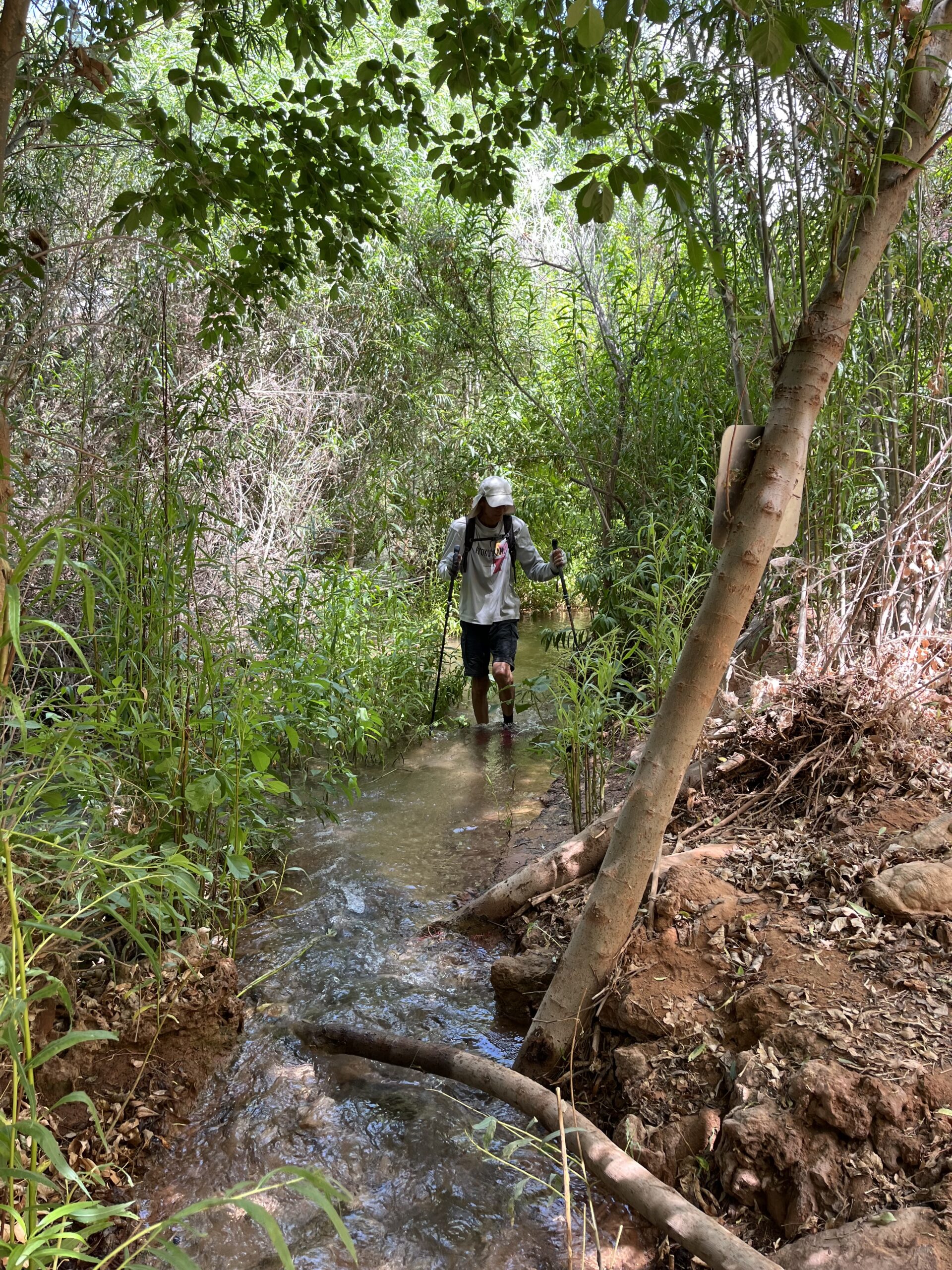
The short hike to 50 Foot Falls was up a narrow stream, navigating an uneven stream bottom with tree roots. Photo by Oscar.
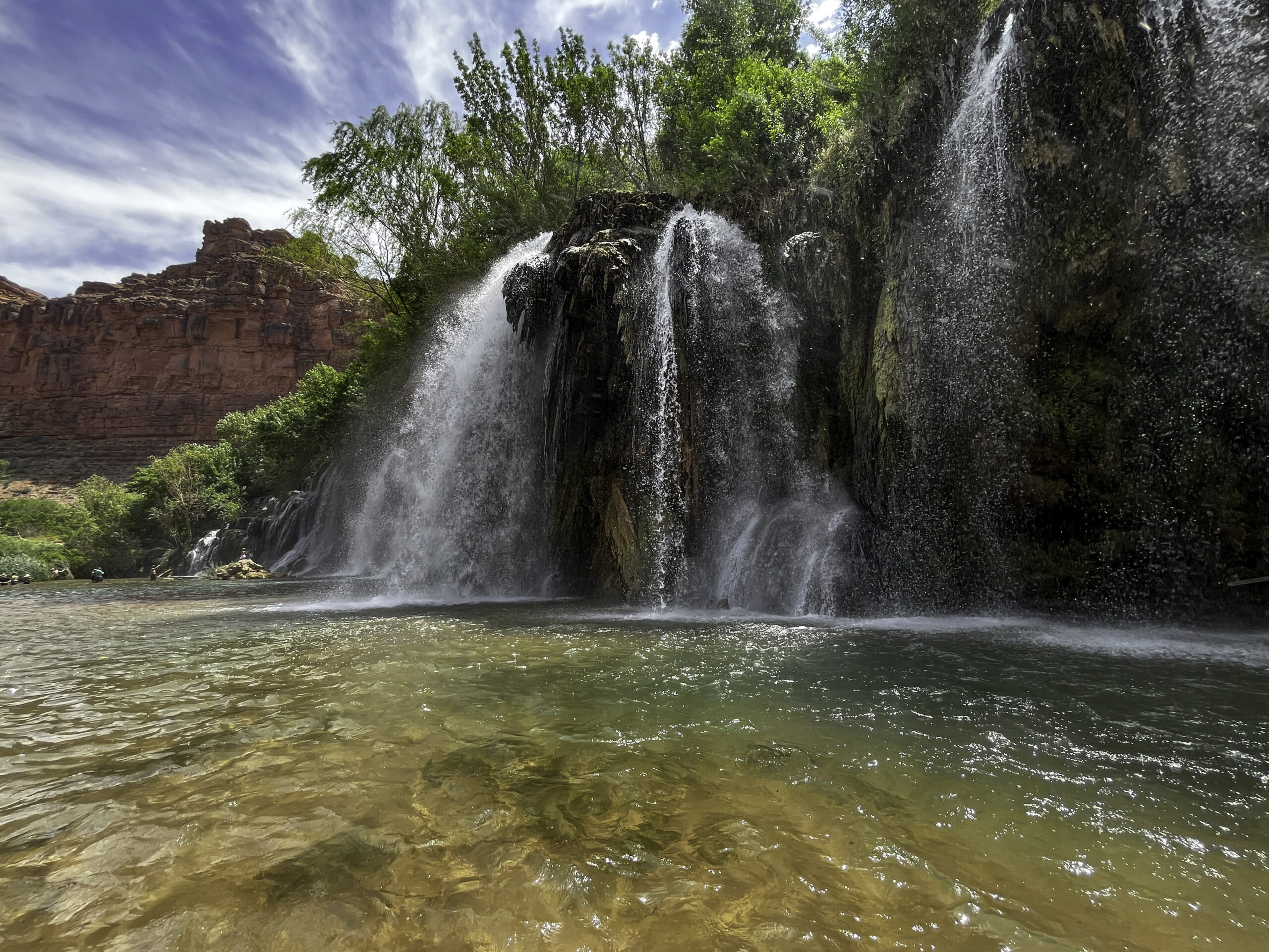
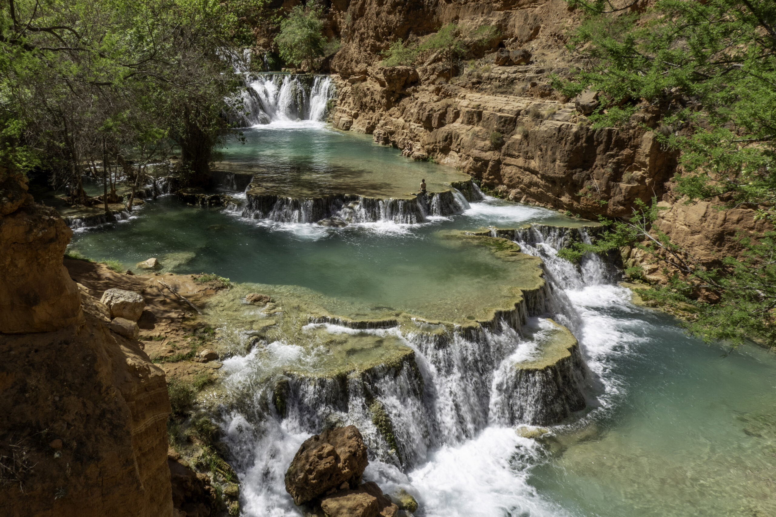
Fifty Foot Falls was a 100+ ft wide series of water falls with a large shallow pool underneath with a sandy bottom (so the clear water appeared brown).
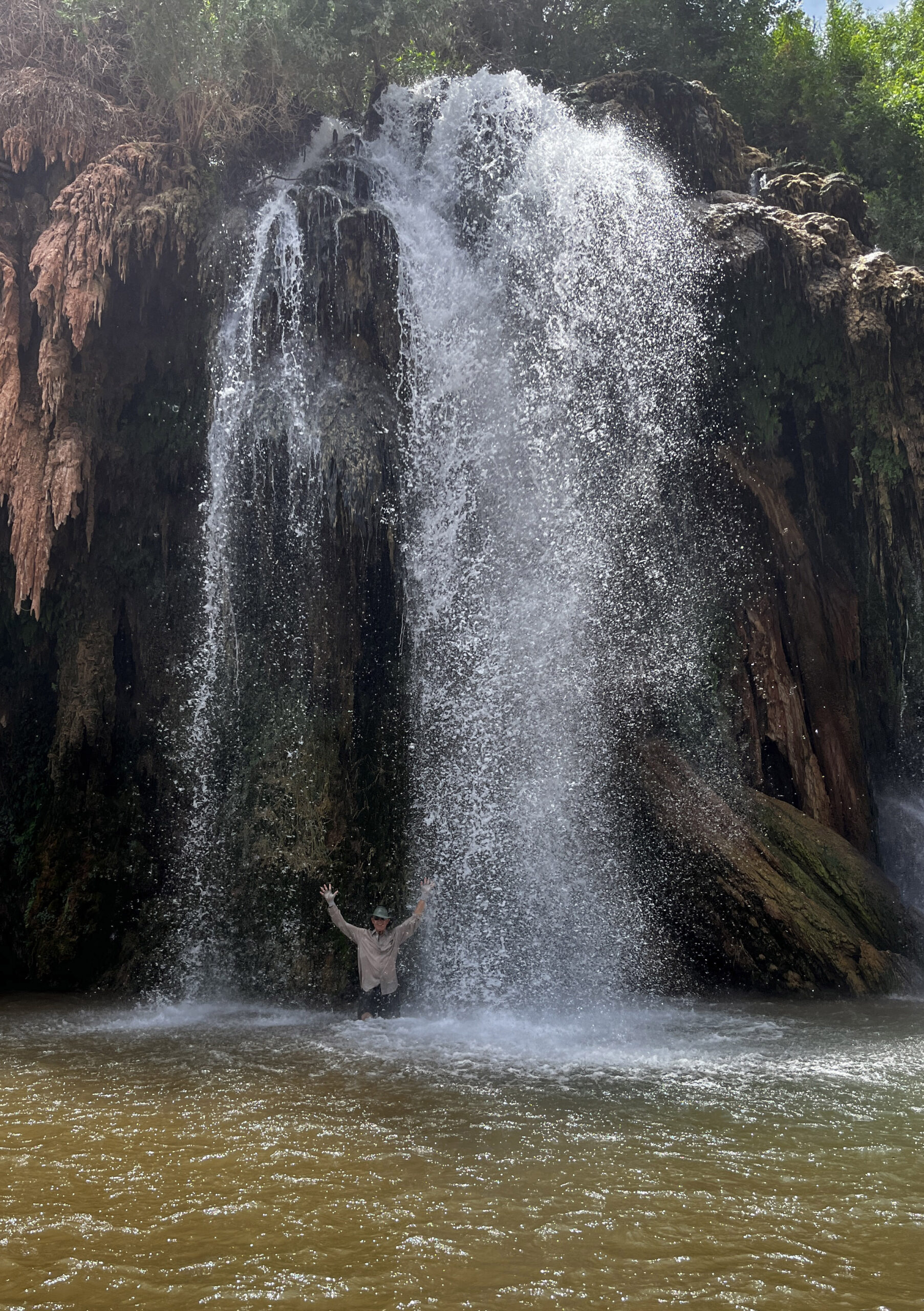
I was concerned about having my good camera on me wading in the sometimes waist high water but did take a chance with my phone inside 2 Ziploc bags to get photos of me and Oscar in the waterfalls of 50 Ft Falls. Even with the water only falling about 50 ft, it was hard to stand up to the force of the water coming down.

Oscar under 50 Ft Falls

View of the Canyon near 50 Ft Falls.
On the 4th day, we got up early to hike the 8.5 miles back through the canyon and climb up to the Hilltop before the heat of the day. Jim and Alan pose in the canyon.
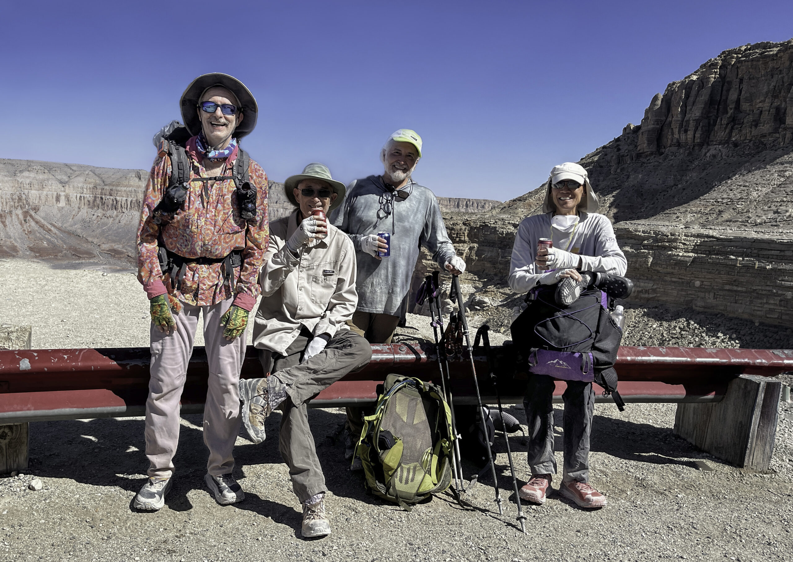
The four of us are on Hilltop having finished our Havasupai hikes. Jim and I did a bit over 30 miles and Oscar and Alan did closer to 40 miles during this trip.

We were back in Las Vegas the same day for a good meal before traveling home.

Leave a Reply