For 25 days in October, Tom, Oscar and I hiked mostly in Southern Utah but also some in Arizona and New Mexico. We hiked 112 miles on 30+ trails in 7 National Parks, 2 National Monuments, 1 US Forest, 1 National Recreation Area, 1 Bureau of Land Management area, 1 Wilderness area and 2 Utah state parks. It was mostly arid hikes that ranged from slot canyons to desert areas to mountains. We visited 16+ arches and walked though 7 slot canyons and around countless hoodoos. For the most part the weather was great: cool and dry air, great for hiking. We drove Tom’s jeep about 3000 miles and were able to reach areas where a high clearance vehicle was needed (about 80 miles of dirt roads).
.
The first hike we did was in New Mexico on the way to Utah. We hike in Kasha-Katuwe Tent Rocks National Monument right outside Santa Fe, NM. Kasha-Katuwe means “white cliffs” in the traditional Keresan language of the pueblo. This is a short hike up a narrow canyon followed by a steep but short climb up above the canyon. The rock in this area is volcanic pumice, ash, and tuff deposited 6-7 million years ago. You can see small fragments of obsidian sparkling in the rock. The tent like hoodoos were formed by the erosion of the softer pumice below the harder cap rocks. Some of the hoodoos are 90 feet tall. This photo was from near the top of the canyon looking down toward the part of the trail that is in the canyon.
.
Oscar is standing under Corona Arch. The massive arch has a 105 by 140 foot opening. A short distance from Moab, we did the 2.5 mile hike to Corona and Bowtie Arches. The hike starts along the Colorado River and is a Bureau of Land Management (BLM) area. In the 1980’s Tim Martin, a local bush pilot, used to fly his airplane through Corona arch.
.
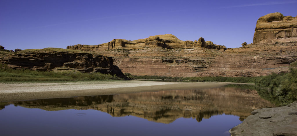
The lazy Colorado River near Corona Arch.
.
It was the weekend and Arches National Park was full of people so we chose to find a quieter section of the park and drove out a 8 mile primitive dirt road to the secluded Tower Arch. The reward for the rough drive and a short hike was having Tower arch mostly to ourselves. This arch has a 92ft span.
.
Tom is enjoying the shade of Tower Arch above him.
.
On our second day in the Moab area, we visited the Needles District of Canyonlands National Park to hike the Chesler Park Loop, 11.6 mile lollipop loop. This area is less visited than Arches or Island in the Sky portion of Canyonlands. Oscar is hiking up the trail toward the needle like sandstone formations that gives the area it’s name.
.
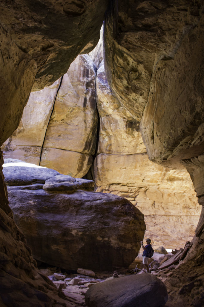
Part of the Chesler Loop trail is the Joint Trail that is routed through deep and narrow cracks in the sandstone. Here Tom is hiking through a section that has opened up at the bottom but has a narrow crack above.
.
Oscar is hiking through the narrow crack of the Joint trail portion of the Chesler Park Loop. The trail follows these series of narrow cracks for about 1.5 miles. Not a good place to be if there is flooding from rain…
.
Tom is taking a photo in one of the “wide” spaces of the Joint Trail in the Chesler Park Loop.
.
In Arches National Park we hiked the Devil’s Garden loop, 7.9 miles around 7 arches. The arch with the longest span is Landscape Arch seen in the photo above with a span of 306ft and only 11ft thick at the thinnest point. The formation of arches was a complicated process. A salt bed layer was deposited some 300 million years ago when the area was part of an inland sea. Then during the next millions of years, the area was filled with debris deposited from winds, floods, streams and oceans and over time this debris compressed into rock. The weight of the rock layer caused the salt bed below to become fluid, allowing it to thrust up and create domes and ridges. The surface rock layers eroded and ground water began to dissolve the underlying salt deposits. Water seeped through cracks in the weathered rock and ice formed, further expanding the crevices and weakening the rock. Eventually, the domes began to collapse leaving a maze of vertical free-standing rock walls known as fins. There are still many fins found in the park. Wind and water continued to assault these fins, dissolving the minerals that hold the sand particles of the stone together until they eventually wear through and pieces began to fall away, creating the amazing arches. The area around Moab UT has the right amount of rain, wind and freezing temperature along with the underlining salt dome to make arches.
.
Partition Arch on the Devil’s Garden trail in Arches Nat Park has two “holes” and the photo is of me in the smaller one. There is a significant drop on the other side of where I am sitting. Oscar took this photo but kept asking me to back up….
.
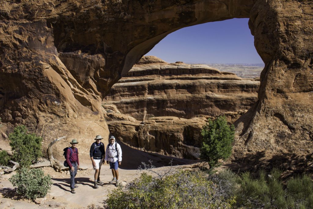
The other “hole” of Partition Arch is larger. We found someone to take a photo of me, Tom and Oscar.
.
The popular 3 mile hike out to Delicate Arch provides a visual reward of this beautiful arch. Tom is standing under the arch and it is a bit hard to see but the small reddish “bump” on the horizon directly above Tom is another arch in the distance, the South Windows Arch.
.
There is a 1/2 mile path to Double Arch in Arches National Park. To better understand the size and scale, look for the silhouette of the seated hiker near the bottom of the “back” arch. The larger arch in the foreground has a span of 148ft and a height of 104ft.
.
The Island in the Sky district of Canyonland National Park provides amazing views of both the Colorado River Canyon (behind us) and the Green River Canyon on the other side. The Green River terminates where it combines with the Colorado River in Canyonlands National Park. Oscar, Tom and I are standing on a ledge that drops 1,000ft to the surface below. The 2 mile Grand View Trail follows the cliff edge out to a point for almost continual great views. We could even see the Needles District where we had hike a couple of days before.
.
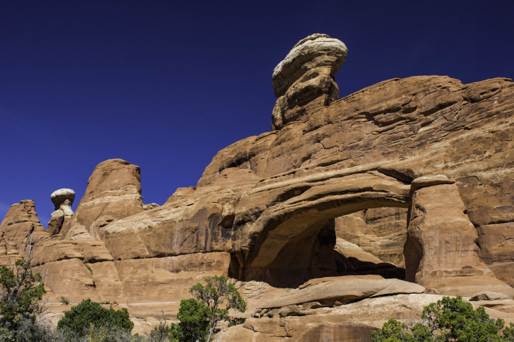
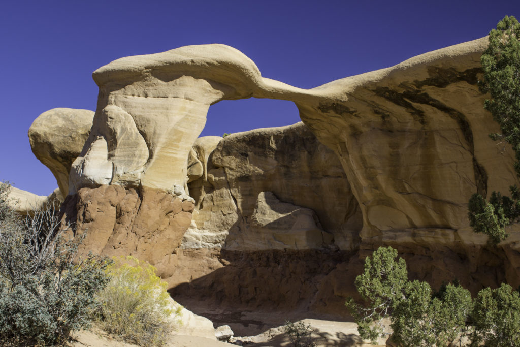
On our way from Moab toward Capital Reef National Park, we stopped off at Goblin State Park (and Little Wild Horse Canyon). A cold front had passed through overnight and it was windy and cold but did provide some really blue sky. In Goblin, there are a few trails but it is more fun to wander around all the strange hoodoos and rock formations. This hoodoo is about 15ft tall.
.
Here Oscar and Tom are on top of a small mound checking out the view in Goblin Valley.
.
Oscar is working his way though Little Wild Horse Canyon, a pretty slot canyon in the Crack Canyon Wilderness Area near Goblin State Park. We hiked about a mile into the canyon and returned the same way once we reached the end of the narrow slot. The flow of water during flooding has eroded and shaped the sandstone into wavy patterns. We were fortunate that it had not rained in S Utah for several weeks and the slot canyons were all dry (often can be muddy with pools of water). Not good places to be when it rains upstream…
.
Another view of the slot in Little Wild Horse Canyon.
.
In Capitol Reef National Park, we only hiked one trail after lunch. My hiking buddies were reluctant to begin hiking in the morning just because it was 19F and they wanted to let it warm up. We hiked the 3.5 mile Cassidy Arch trail which is one of the few arches you can hike over the top of. Oscar is taking a photo of me doing yoga and Tom stretching(?) on top of the arch.
.
Tom and I on the Cassidy Arch trail in Capitol Reef National Park.
.
The rock in Capitol Reef was once layers of sediment that formed in a shallow sea starting about 280 million years ago and was pushed up along a fault line about 50-70 million years ago and then was eroded to expose the layers of compressed sediment. Many of the colors of the layers of rock come from the different oxidative states of iron – reds from oxygen rich sediment, grays from stagnate oxygen poor mud, and cream colors from low iron content.
.
In the 1880s, Mormons settled in the The Capitol Reef area and established the small settlement of Fruita near the Fremont River. They built an irrigation system and planted orchards that still exist today.
.
On our way to Bryce National Park, we explored some slot canyons in the Grand Staircase Escalante National Monument. After driving 26miles at slow speeds down a poor condition dirt road called “Hole in the Wall” we arrived at two of the top ten rated slot canyons in Utah: Peek-a-Boo and Spooky Gulches. In the photo above, Tom is making his way through the Peek-a-Boo gulch with pinks, yellows and cream colored wavy walls. To get to this hike we dropped down from a desert ridge and entered the 15ft wide outlet of the gulch. The path was fairly level and the slot continue to grow more narrow until it opened up into a wash after about a mile.
.
Tom is climbing through the last section of Pee-a-Boo Gulch heading for the inlet of the slot. We attempted to loop over to the inlet of Spooky Gulch, but there were multiple unmarked trails and we wound up at the outlet of Spooky instead.
.
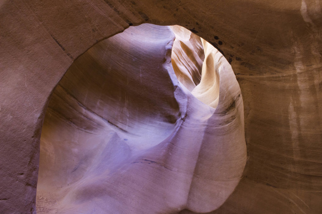
To get into the slot, the Spooky Gulch outlet has about a 10ft tall pour off that is a challenge to “rock climb”. But it was worth it. This slot was full of strange wavy rock walls, portholes to climb through, tight passages, and even mini arches. The photo above is a ~2ft wide porthole that you had to crawl though.
.
Here Oscar is working his way through a narrow passage in Spooky Gulch. At one point, he had to take off his pack and hand it to me to get through a narrow spot.
.
On our way back down Hole in the Wall road, we stopped off to see the Devil’s Garden in Grand Staircase Escalante (we also hiked a trail in Arches with the same name).
.
Our first hike in Bryce Canyon was a combination of 3 trails: Queens Garden, Peek a Boo, and Wall Street for a 6.5mile figure eight. It was a perfect day to hike and see the fantastic Hoodoos. Forty to 50 million years ago this area was a basin that rivers flowed into and deposited layers of dissolved limestone. Twenty million years ago the Colorado Plateau began to rise (about 2 miles upward) and the muddy layers dried up and were compressed into stone. Frost wedging (water entering cracks, freezing and expanding and wedging to crack open) formed narrow walls. These walls developed holes (called windows). The top of the windows collapse leaving the columns that are called hoodoos. The hoodoos continue to erode into piles of clay.
.
Bryce PeekaBoo trail
.
While we were returning from the trail we saw a rescue team help a young man who had wandered off the trail for a better view and fallen down the slope (see red box in lower left). He was lucky that his fall stopped on the ledge because there was a significant drop below that point. We were surprised they let him climb out once that got the rope to him. I talked to the rescue team and asked how many of these they typically did in a year and was surprised it was only about 2 per year, We saw lots of people walking out into areas with inadequate foot wear that could have easily joined the statistic.
.
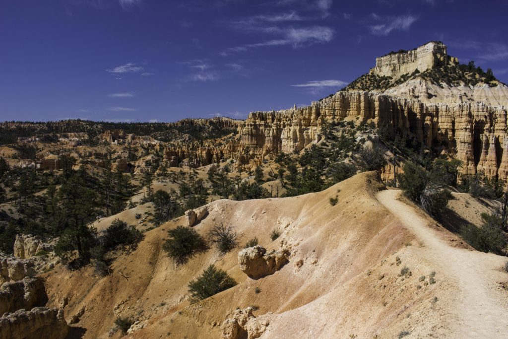
Our second day of hiking in Bryce was the 8.3 mile Fairyland Loop. This trail is less traveled but really pretty.
.
More views of the Fairyland loop.
.
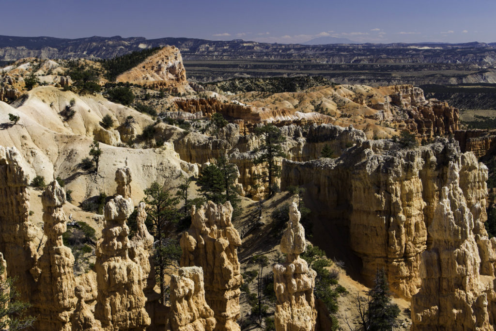
A view of the hoodoos of Bryce Canyon Nation Park and the Shipwreck rock formation in the upper left.
.
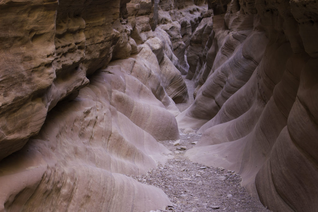
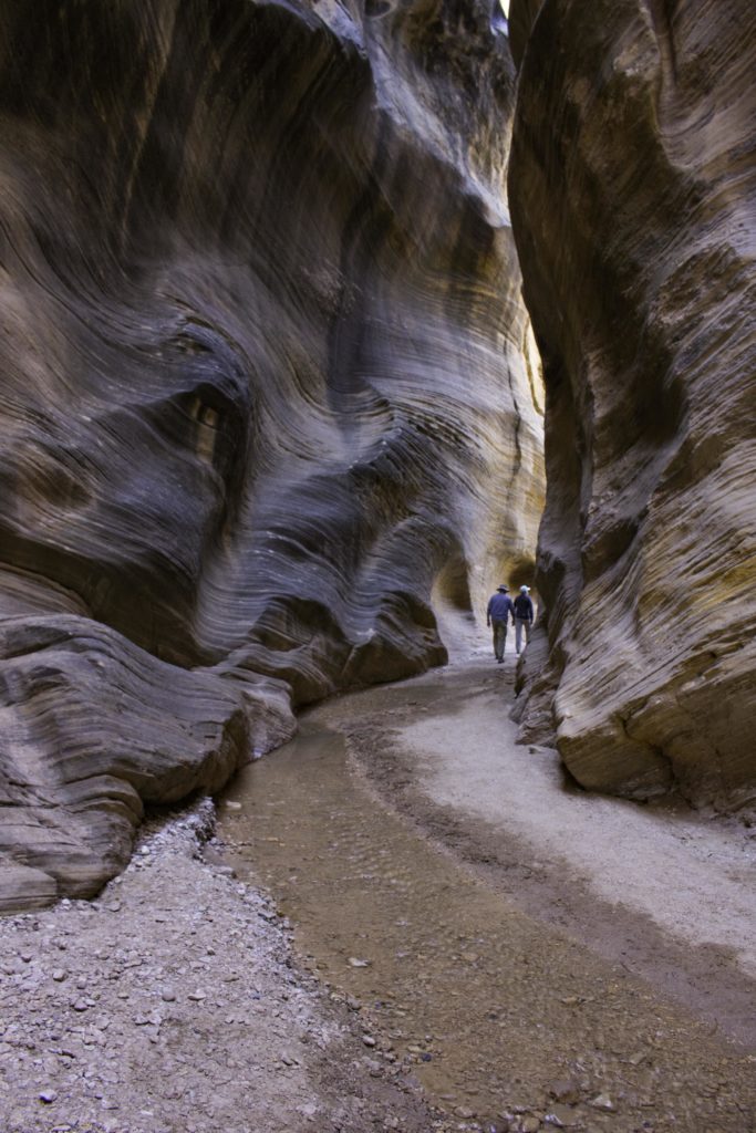
The Willis Creek Creek Narrows is a slot canyon near Bryce that is in Grand Staircase Escalante National Monument . The creek was flowing but low enough that we could easily shift side to side to keep our feet dry. This was the first slot of our trip that had water in it.
.
Tom and Oscar in Willis Creek Narrows.
.
We visited Kodachrome State Park near Bryce. Several nice trails with vivid desert landscapes.
.
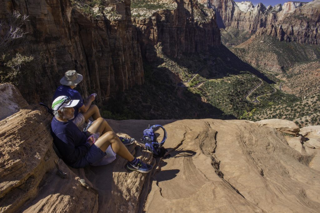
We came into Zion National Park on the east side from Bryce and stopped to hike the short Zion Canyon Overlook trail at lunch time. We had lunch looking out into the canyon from 2,200ft above the canyon floor.
.
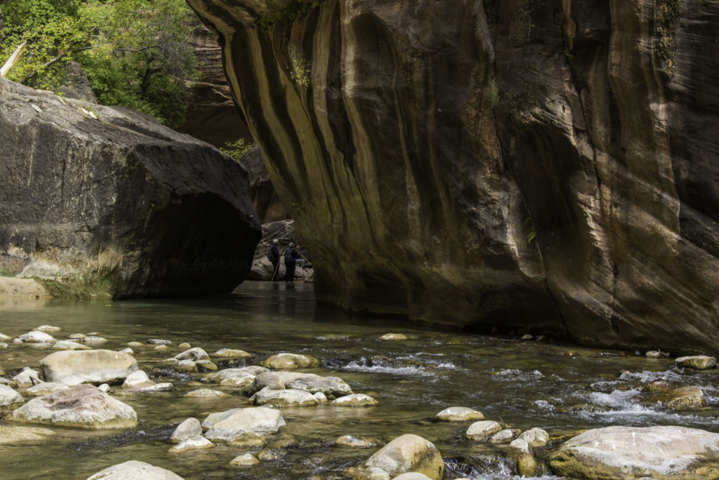
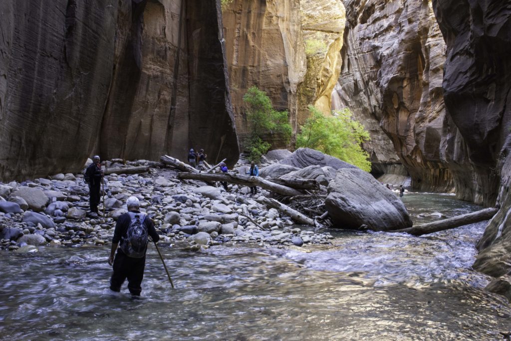
When we arrived in Zion, we rented our dry pants gear and water shoes to hike the Narrows the next day. The weather forecast was for a cold front to arrive the day after and we wanted to enjoy the Narrows comfortably. The Zion Narrows, one of 10 best Slot canyons of Utah, is a canyon created by the Virgin river. The water flows all year so it is a wet hike where you are in the water more than out. This time of the year, the water is just a foot or so deep on most of the “path” but there are places that are almost to your waist. The bottom is uneven with smooth stones up to a couple of feet in diameter so the walking is slow. This was the second time Tom and I had done the Narrows and the first for Oscar. The canyon walls are a 1,000ft high and the water was a cool 45F. We spent all day in the canyon to travel about 9 miles. This photo is our lunch break.
.
That’s Tom and Oscar with their walking sticks. Having a sturdy walking stick is very handy to keep from loosing your balance but not a guarantee. Oscar found out the hard way that looking up as you walk does not always work well and he took a little unintentional swim.
.
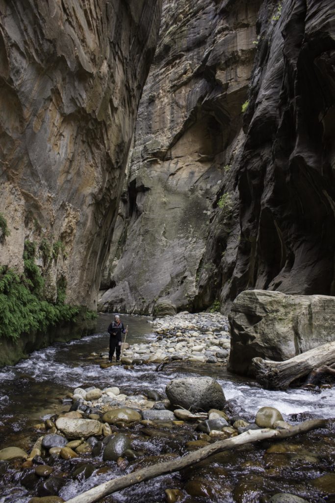
We were constantly crossing the river to walk as much as possible on dry land. The rocks where Oscar was standing is the same surface under the water.
.
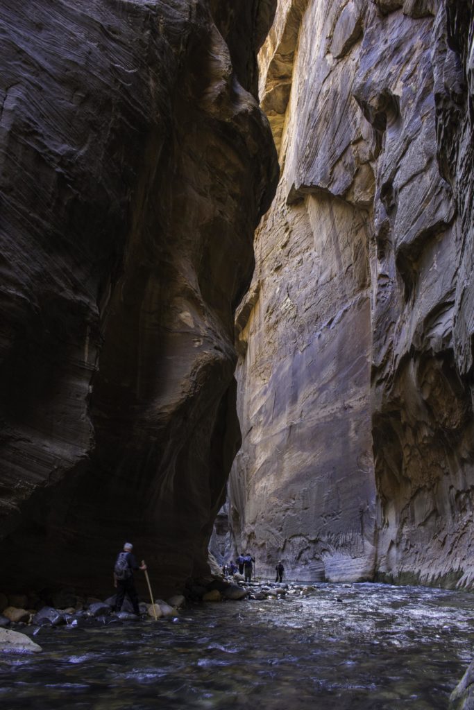
This is where we turned around and the end of the section called Wall Street, given that name because the canyon is narrow and the walls very vertical like being on the street surrounded by skyscrapers. We did not go further up the canyon due to both time and because the next section was chest level deep and would have been over our dry pants.
.
Tom is walking through a section of Wall Street of the Narrows.
.
We stayed in Springdale right outside Zion in a home rental. This is a photo of the sunset colors on the mountains taken from the patio of the house while we grill dinner.
.
The most popular – highest rated trail in Zion is Angels Landing. The trail goes up to Scouts Overlook through Walter’s Wiggles, a series of 21 steep switchbacks. These were named after the park’s superintendent who had the trail constructed in 1926. From Scouts Overlook the trail then climbs 1/2 mile up the edge of a sandstone fin that is sometimes only 10 feet wide with a 1000+ft drop on either side. There is a chain all the way up. Both Tom and Oscar wanted to see if they could do this trail but felt uncomfortable with both the exposure and the massive number of people on the trail. They climbed the first 50 feet or so and came back down. You can see Tom and Oscar about in the center of the photo near the tree. The top of angels landing is the peak to the left and another 1/2 mile of climbing. I did this trail in 2008. Going up was OK but coming down was unsettling to me – while I was watching where to place my feet, the visible exposure on both sides is a bit freaky. I am OK on shelf trails with significant drops on one side but not both. Only 9 people have died on the trail due to falling and most of those were from hiking it in snow/ice or high winds (neither seem too smart to me).
.
A view of the beautiful Zion valley with blooming Rabbit Bush in the foreground.
.
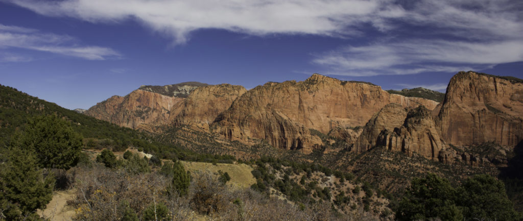
We were surprised that Zion was so busy this late in the year. Apparently, it is a very popular time when it cools off and the trees begin to change color. Since we did not win the lotto to get a permit to do the Subway slot canyon in Zion, we decided to explore another area of Zion, the Kolob Canyons area. This is a view of the canyons from a short overlook trail.
.
We hiked the great little Taylor Creek trail in Kolob Canyons where the trees were changing to fall colors. This is one of two cabins on the trail that were from the 1930s.
.
At the end of the Taylor Creek trail there is a grotto with the red-pink sandstone, stained with minerals. I took this photo from our lunch spot. For fun I tried to count the number of times we crossed Taylor Creek on our way back. I counted 57 times – not sure if that is exact but you get the picture…
.
We left Zion early in the morning to make our way back to New Mexico to join up with the Woodlands Hiking Club trip around Carlsbad and Guadalupe National Parks. I took this sunrise photo of the West Temple as we headed out of Zion.
.
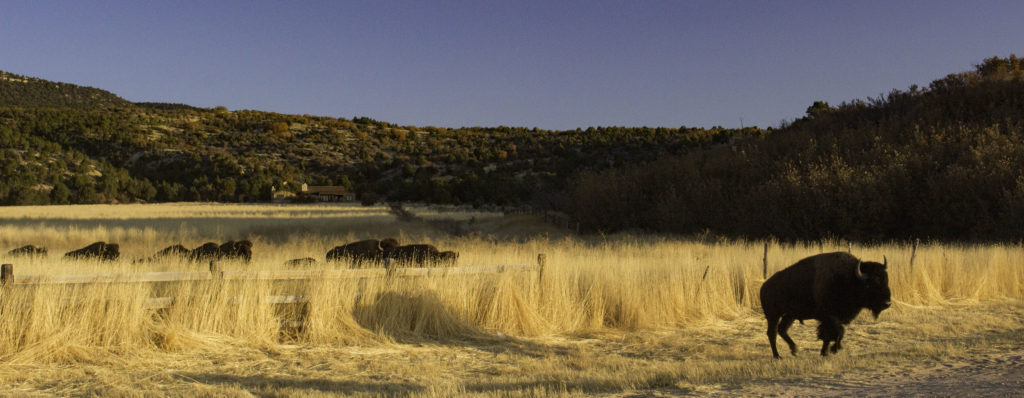
On our way out of Zion, we had to stop for a small herd of Bison that decided the grass was greener on the other side.
.
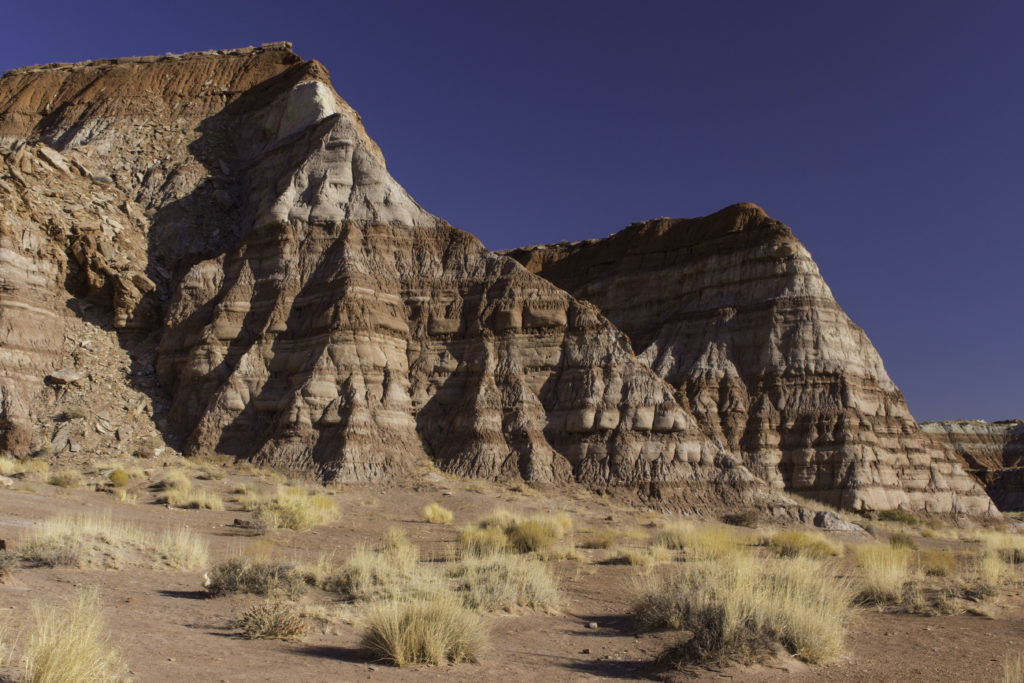
On our way from Zion to Winslow AZ, we stopped for the short Toadstools hike in the southern edge of Grand Staircase Escalante. These are some colorful formations at the beginning of the trail.
.
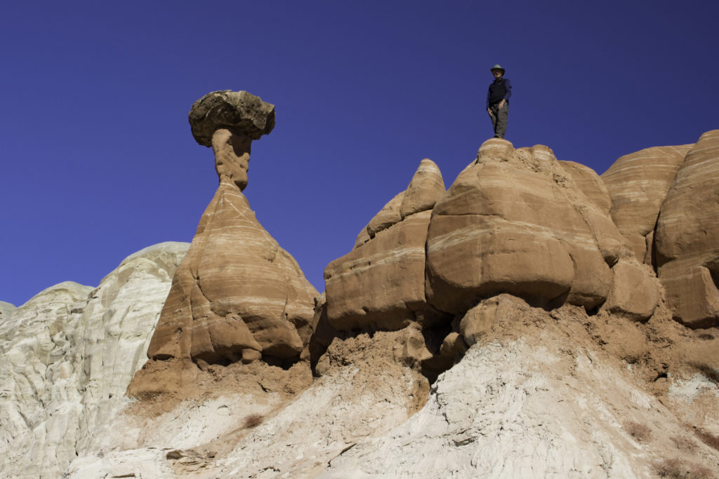
The Toadstools trail is named after the mushroom shaped hoodoos. Oscar took my photo.
.
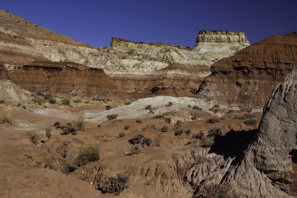
More of the colorful formations on the Toadstools trail.
.
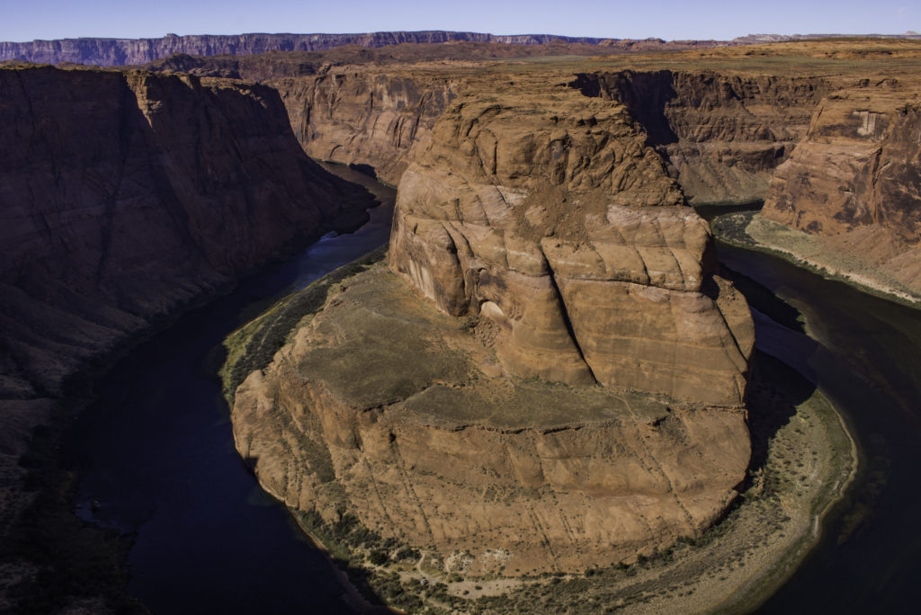
We also stopped to visit the Horseshoe bend of the Colorado River near Page Arizona. There is a short trail to this overlook that has become very popular – must have been over 100 people there. Several years ago Karin and I walked out there and there may have been 5-6 people.
.
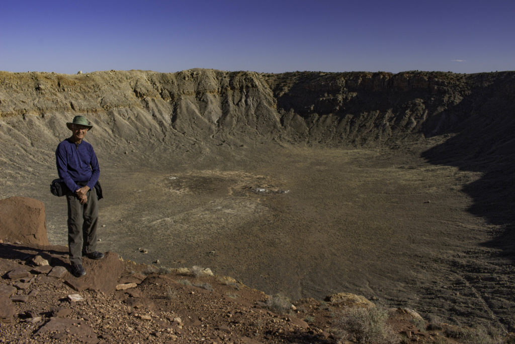
On our way to our stop over in Winslow, AZ, we toured Meteor Crater, on of the best preserved meteor impact craters on earth. This 3,900ft diameter, 560ft deep crater was formed by a ~160ft nickle-iron meteorite about 50,000 years ago. Impact energy has been estimated at 10 megatons.
.
Just past Winslow AZ, we detoured to visit the Petrified Forest National Park. Here is a photo of the Painted Desert within the park. We did not have the time to explore the park as we had another 9 hours of driving to get to Carlsbad. It’s on my list to return and explore more.
.
I did one hike with the Woodland Hiking Club, Slaughter Canyon in Carlsbad National Park. This was a primitive 11.1 mile trip up a desert canyon to a ridge to overlook the area. The trail started down in the v notch in the photo, followed the canyon and then up the hill. Parts of the trail were in poor condition and you had to watch your foot work. There were more flowers blooming than I expected and other signs it had rained a few days before. Tom and Oscar hiked Guadalupe Peak the next day but I passed to tend to my knee that was giving me a bit of trouble. I have done Guadalupe twice before.























Fabulous trip and Photography/Narrative outstanding!
Ann and I visited Arches and Canyonlands Oct.2019 and truly enjoyed it but your travels expanded our experience immeasurably. Thanks for sharing.
Jim O’Malley