It had been several years since we visited the Texas Big Bend parks (National Park and Ranch State Park). Even though we have hiked in this area more than a dozen times over close to 40 years, we had never seen it rain in these desert parks….until now. Several of the planned hikes were not possible due to high water on roads. On the upside, we have never seen as many flowers and the park so green. Ash joined us for this family trip to West Texas.
Big Bend was not this wet! – this is a photo of colorful fall trees on the Guadalupe River near Kerrville on the way to Big Bend.
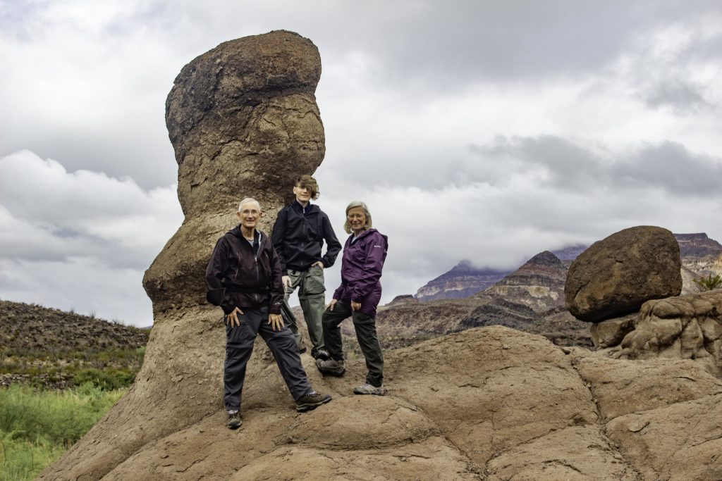
On the first day in the Big Bend area, it was raining on and off so we did a few short hikes in the Big Bend Ranch State Park. This photo is of a Hoodoo on Hoodoos Trail. The green brush in the background is on the Mexico side of the Rio Grande River, the national border. between USA and Mexico.
Randy, Ash, and Karin in our rain gear next to a Hoodoo in the State Park.
The Rio Grande River is in the foreground on the Hoodoos Trail.
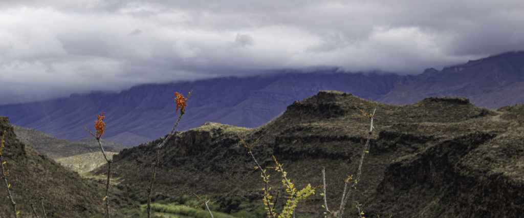
On the left are a couple of Ocotillo blooms with the mountain range in Mexico in the background. There will be several photos later with this plant.
We hiked a part of Closed Canyon trail in the State Park but turned around when passage became difficult due to some deep pools of water with slick/polished/steep walls on each side.
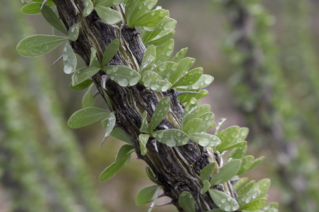
Here is a close up of an Ocotillo bloom. Ocotillo (Fouquieria splendens) is an easily identified desert plant. They are large shrubs with long cane-like unbranched spiny stems that grow from a short trunk. Small 1-2 inch leaves will grow from the stems when there is enough moisture. Dense clusters of red tubular flowers grow from the end of the stems typically from March through June (there were lots of blooms this November because of the rain). The abundant leaves were mostly hiding the wicked thorns but look closely and you can see a few thorns. Normally, the desert is dry and there are no leaves on the stems. The dried stems have been used to make fences because the wicked spines stop people and animals from passing through.
A view of Cerro Castellan (or Castolon Peak). This peak is on the way to Santa Elena Canyon where we had planned to hike but had to turn around due to one foot deep water over the road (we were in a sedan…) Cerro Castellan is a 1000ft high stack of volcanic rocks, including ash, lava, and tuffaceous rocks. It is capped by a dense lava flow underlain by various tuffs and basalts. Cerro Castellan seems to mean “castle-warden’s hill,” though the reasons for this name’s adoption are obscure.
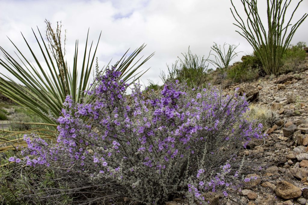
The Big Bend Silverleaf (Leucophyllum minus Scrophulariaceae) typically only blooms in spring but the November rain caused them to be in full bloom. The plant is also called the Littleleaf Rain Sage. You could see these plants scattered all over the landscape blooming.
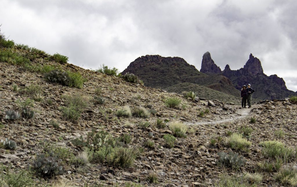
We hiked a portion of Mule Ears trail (because the high water on the road stopped us from hiking Santa Elena Canyon). I am sure you can tell why it was named Mule Ears based on the rock formation in the background.
A close up of a stem of Ocotillo with thorns and rain drops.
A distant view of Santa Elena Canyon in the background (“V” notch in upper left side). The right side of the canyon is USA and the left side is Mexico.
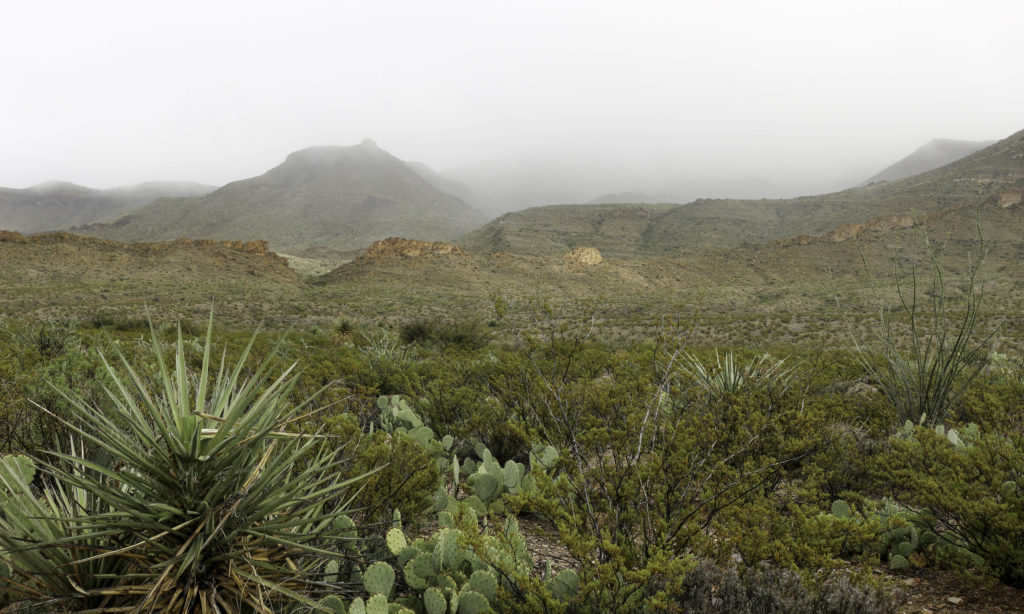
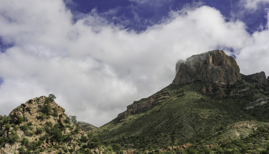
A view of the bottom of the foothills of the Chisos mountain range where the clouds were almost down to the desert floor. Because of poor visibility and rain, we did not do any hiking in the higher altitude Big Bend Basin this day.
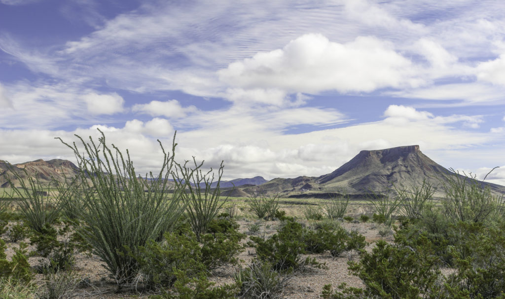
At the end of the day, the rain stopped and the clouds began to dissipate to reveal the landscape with abundant green Ocotillo and other plans in the desert.
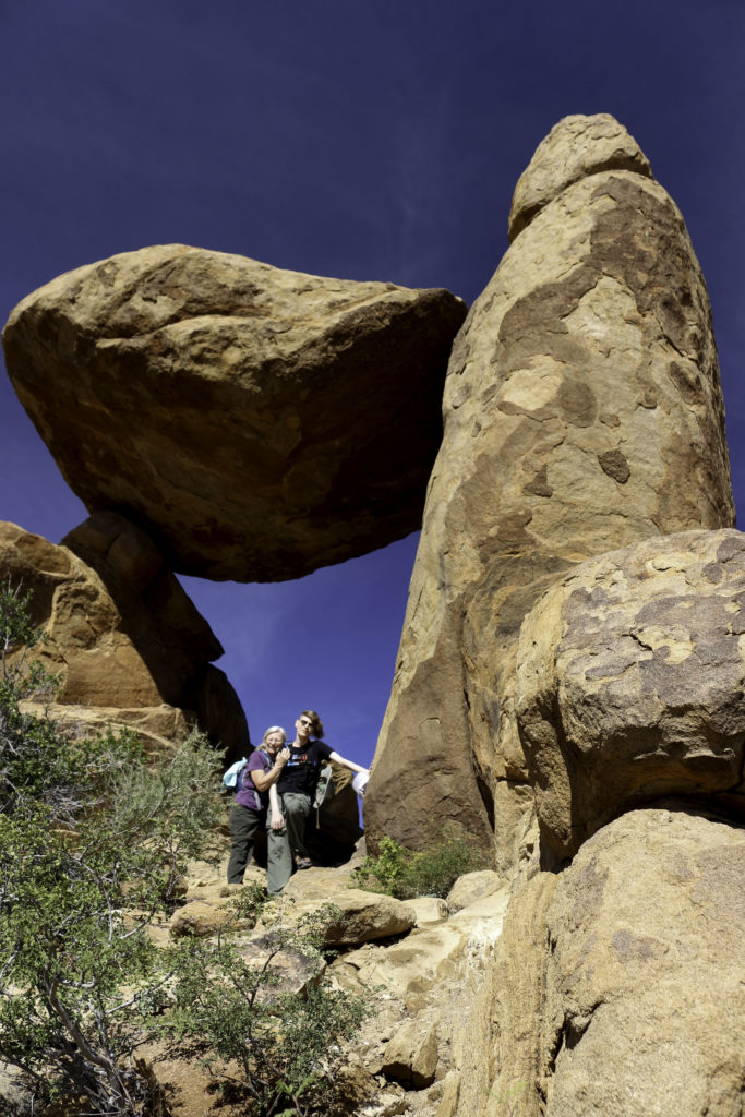
Karin and Ash are under the Balanced Rock of the Grapevine Hills trail. The more typical blue skies had returned.
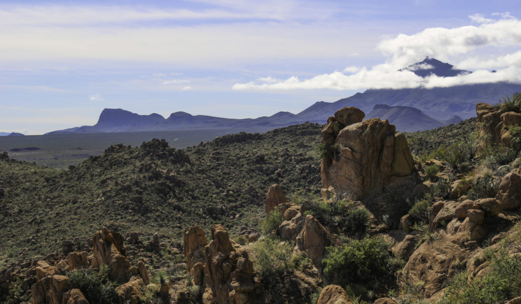
A view from the Balanced Rock of the Grapevine Hills trail in Big Bend National Park.
Ocotillo with green leaves amongst the granite boulders in Grapevine Hills.
Still some clouds touching the Casa Grande in the Basin of Big Bend.
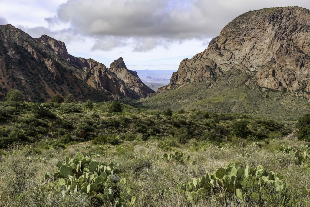
A view of the Window from the Big Bend Basin. The basin is about a mile elevation and slopes through Oak Creek Canyon to the “V” notch called the “Window”. At the end of the trail is a pour off to the desert floor below. We did not have time to hike down to check it out this year.
Randy, Ash, and Karin with the Window in the background saying goodbye to Big Bend until the next time.








Beautiful pics. I also loved your descriptions. Thanks for posting!